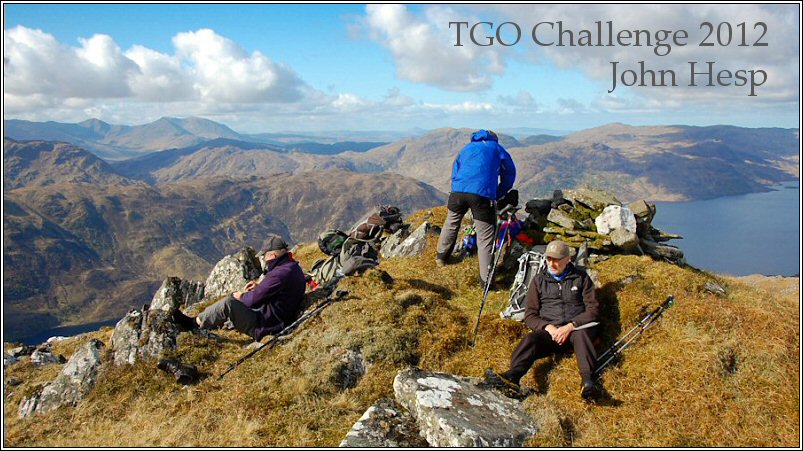
Day 12 – The longest day
Up at six again. What a difference sunshine makes, and it was obviously going to be a scorcher. The air was still and the coast was invisible in a haze.
Today’s plan had been to drop down into the Howe of Cromar, stop at Tarland for a while, then make my way up onto the ridge to the east of Tarland and camp beside a pool I’d seen on the map, but that seemed a very short distance away now, especially as I’d started walking at 7:15. The track dropped steeply down into a wood where it levelled off. There were some places in this wood where it would possible to pitch a tent, but water might be a problem.
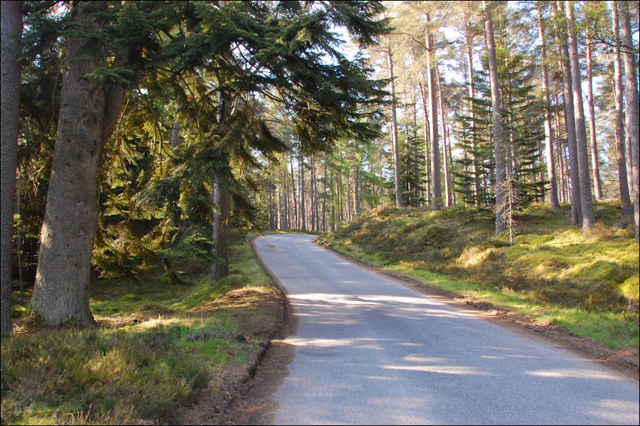
At the road I turned left and followed it in a northerly direction to the hamlet of Logie Coldstone where I sat on a seat in front of the church and had a snack. Then it was a long walk along a quiet wooded road - the occasional mother passing with a car full of school kids - to Tarland which I arrived at at about ten. Tarland was a much nicer place than its name might suggest.
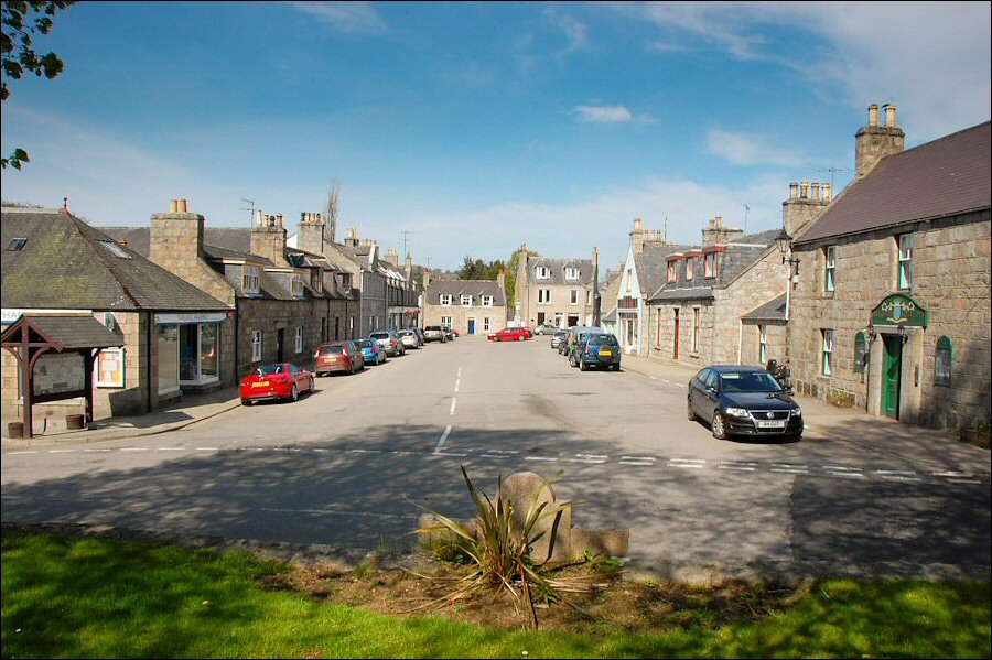
As soon as I’d found my way into the village square a couple came and wanted to know all about my walk. I went into the Spar shop and bought what looked like far too much food but turned out to be just about right. I’d been thinking about a nice cool drink all along the dusty miles into Tarland, and a litre of orange juice in the shop fridge looked very tempting, but buy-one-get-one-free? I took them both and sat at the top of the village square drinking orange juice and eating fruit cake. People came and waited for the bus. The bus came and after a while whisked them off in a southerly direction. I plodded of in an easterly direction past the impressive parish church and well manicured golf course.
Just past Boghead I passed a photography studio and at the crossroads just above carried straight on up the hill past Loch Coull House. This name had puzzled when planning the walk; the house is on the side of a hill and it doesn’t seem likely that there might ever have been a loch there. Just beyond the house there was a large pond in the garden (marked on the map) and I wondered if this could be the loch. The hot climb up the hill was relieved by thinking up grandiose names for my humble cottage.
Before entering the wood towards the top of the hill there were great views back over Tarland to Morven and even as far as the snow topped Cairngorms. Once inside the wood I found that I’d lost the path so I just wandered in what I thought might be a north-easterly direction until I came across the path again and followed it to a pool I’d seen on the map.
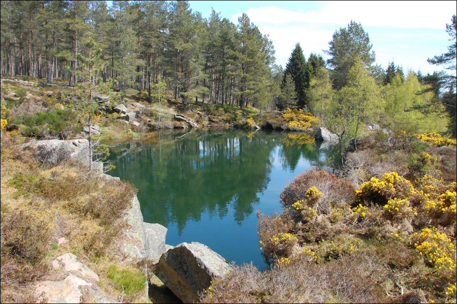
This was to have been my camping spot tonight, but as it was only midday this was out of the question, even for someone as lazy as me. In any case this didn’t seem to be a natural spring fed stream but looked like it had been quarried out of solid rock, perhaps as a reservoir in case of forest fires? What in my imagination had been a crystal clear pool fed by a sparkling waterfall had turned into a bottomless pit full of green soup. There was no diving in to get out of the heat, but I did find a place where I could sit with my feet in the water. Why is it that feet will go where other bits dare not go? Partly because my feet were so hot I suppose.
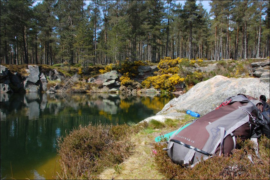
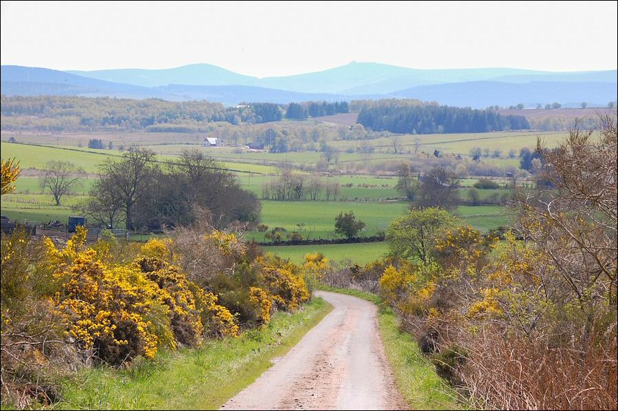
It was far too early to stop for the day so I settled down to a two hour long lunch whilst cooling my feet and studying the map for likely places to camp further down the road. And that was the problem really - the road - it was all road and farmland instead of tracks and moorland. The next decent place seemed to be the Hill of Fare, but this was really my next day’s camp spot. Two days in one? Why not? It was still relatively early and I wouldn’t mind walking into the evening on this wonderfully sunny day. One thing was for sure, I wasn’t going to stay where I was so I set off down the easterly slope of the hill eager to see a new landscape ahead. I couldn’t see this until I got out of the trees and then a hazy landscape of large fields dotted with enormous agricultural buildings was revealed.
The Peel of Lumphanan was an impressive earthwork which gave me an excuse to stop for a while and finish off my second litre of orange juice, but otherwise it seemed a long hot road to Lumphanan.
If the landscape was less inspiring than that around Tarland so was Lumphanan. Somehow it looked like it should have been busier than it was - the sole sign of life was a man mowing the lawn outside his bungalow. A small shop kept me busy for quite a while searching for something which might be worth buying. I walked out with a tin of rice pudding and a packet of cookies. It might have been nice to sit and have a rest but there were no seats so I hurried off along the main road to Wester Beltie.
At Wester Beltie I was glad to get off the main road onto a lane and after a while when things had quietened down a bit I phoned Challenge Control. As Challenge Control were talking to me a man doing some gardening saw me and waved; I waved back and he started talking to me too. This was too much for somebody who hasn’t had much conversation for over a week so I made meaningless miming movements to him with one hand whilst holding the phone to my ear in the other, but despite my best efforts he just carried on talking, so I explained the situation to Challenge Control and rang off. I chatted to the man for a good half hour over his garden fence. He was quite interesting - interesting enough that I forgot to ask the obvious question - “Could you let me have some water please?” He was interested to hear where I’d come from and where I was going and told of a terrible battle which had taken place near my proposed camp spot that night - the Hill of Fare.
I carried on up the minor road past Miltown of Learney and Skerryalva, and was just passing Netherlands when a car pulled up beside me and the man from the garden stuck his head out. He’d very kindly come after me in his car to tell me not to cross the B road here and climb up onto the hill but to follow the B road up to its highest point and then follow a forestry track not marked on the map onto the hill. He had also brought me some local walks leaflets which he thought I might like to read. I followed the road up the hill as he suggested, and just where the road is marked at 298m on the map there was a forestry track heading in the right direction. It was good to get off the road but it was hot in the forest. Not many flies luckily, but no water either and not much prospect of getting any for some time.
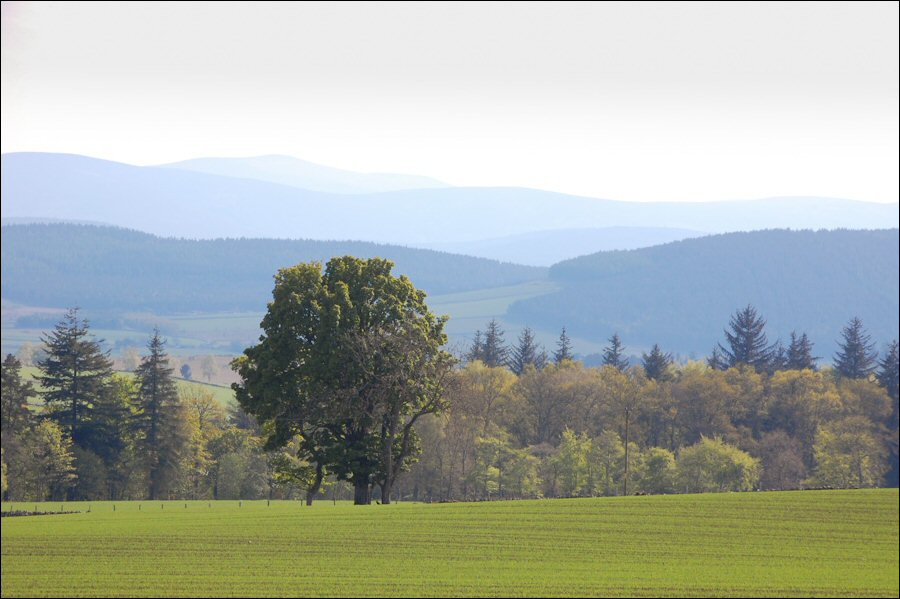
The track took me to the south eastern side of the wood and I then followed a vague path up the side of the hill. This soon petered out and I was left slogging my way uphill in the heat and heather until I came across another path. Or maybe it was the same one. As the ground started to level out and I began to think that maybe I would reach the top after all, I saw a rock which looked just the job for sitting on. “He who sits on a rock is twice blessed” as Tilman often quoted, or something along those lines. The views back were good – rolling hills, fields and forests, and in the far distance glowing in the evening sky, snow capped mountains. I ate my last beef roll from Tarland and drank the last of my water.
At last the track marked on the map, and for which I had so long struggled appeared ahead. There would be no water at this end of the hill so I was now faced with walking several miles along the track to the steam at the eastern end of the hill. Where the track makes its first sharp turn east I came across some deep pools of water, but even with my filter water bottle and a thirst like a dredger I didn’t fancy it. Where the track splits at the head of the Burn of Corrichie I had a good look to see if there might be a camping spot down by the burn, but it looked steep sided and thickly vegetated. I couldn’t face going down and then having to climb back up again. How far down do you go down before deciding to turn back up? I pushed on.
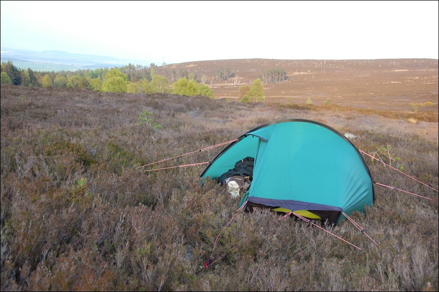
By the time I get to Blackyduds I was feeling tired and was surprised to see that the track dropped some height before climbing up to Greymore. This drop is marked on the map and isn’t really very much, but at the end of a long day it proved a slow plod regaining lost height. From Greymore the end seemed in sight – a short downhill stretch beside the forest and somewhere before entering the forest I’d pitch the tent in a space clear of heather. But if there’s one thing my bad leg didn’t like it was going downhill and by the time the track had joined the forest edge it was hurting. I knew that the further I got the more likely there was to be a decent stream, but in the end I’d had enough and I turned off the track towards the stream and put the tent up in the first flat spot I was able to find, heather or not. What with the heather and my not wanting to walk to put in pegs and make adjustments the tent looked like a sack of potatoes, but it was up and there was no wind to blow it down. I threw my stuff into the tent and had a lie down, relishing the feeling of having arrived. After a rest my leg felt better and I staggered over to the stream and filled up my containers (and myself). Mountain House Chicken Tika (for two) for dinner, followed by a lot of the fruit cake I’d bought in Tarland. It had been a long day – thirteen hours walking and twenty seven miles (43km), although I’d had some long rests in that time. It was good to stop. I went to sleep to the sound of a fox barking across the valley and the barely audible rumble of traffic in the east.
Day 13 TGO Challenges Page